Springs, fountains and washhouses
Start from the Foyer Rural car park (Route de Sainpuits).
(D) Head towards the village; in front of the EDF transformer, turn left. At the Stop sign, turn left towards Perreuse (south-west). Go past the Fontaine des Gilets, then 100m further on, take the left-hand path (farm shed on your right). When you reach Croix-St-Nicolas, turn left and follow the road until you reach the tarmac road.
(1) At this crossroads, take the small road down to the right. Follow the road for 200 metres to discover the source of the Loing and the stele erected in 1994 tracing the course of the Loing.
(2) Continue along this road. At the next crossroads, turn right and continue as far as the hamlet of Les Guittons.
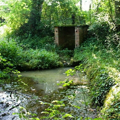
(3) On leaving this village, take the small path on the left that leads to the spring, which is in fact the first resurgence of the Loing. In fact, since its source, the Loing has travelled underground and reappeared here, only to go back underground again a few steps later and reappear a little further on. Retrace your steps and, when you reach the road, turn left. Continue past Les Gressiens and Les Rameaux.
(4) At the end of this hamlet, take the track on the left for 200m. Go down the right-hand track. This leads to the Montillon spring. One hundred metres after the fountain, take the road on the right. Beware of traffic!
(5) When you reach the village of Sainte-Colombe, take the road on the left towards Les Landris, a hamlet that you must cross in its entirety until you reach the next track on the right.
(6) Take this path 150m after the last houses. Leave the track on the left, cross the Loing and head up towards the hamlet of Thomas. At the road, turn right and then immediately left onto the dirt track.
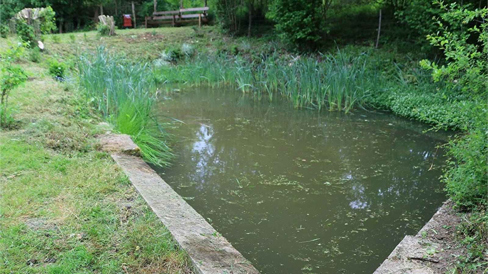
When you reach the small road, turn right as far as the Desleaux fountain, and walk down to the spring and wash-house.
(8) Return along the road to the crossroads 100m further on and take the track opposite. Continue until you reach the next road.
(9) Going down this track, pass the Boutin spring and washhouse.
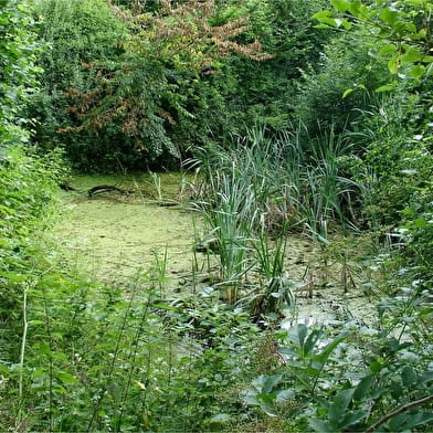
(10) A little further on, at the pond, a major underground river flows beneath your feet, feeding the water table of the Paris Basin. Climb up to the road and turn right. As you go downhill, take an open path that leads to the Fontanelles spring. Go back up this path, turn right onto the road and continue until you come to a junction with a perpendicular road - watch out for traffic!
(11) Turn left and then, after 50m, turn right onto the dirt track that takes you back to the starting point (D/A).
Brochures Bourgogne Tourisme
Consult our brochures online or order them to receive at home


