- 03 86 74 10 07
- View email address

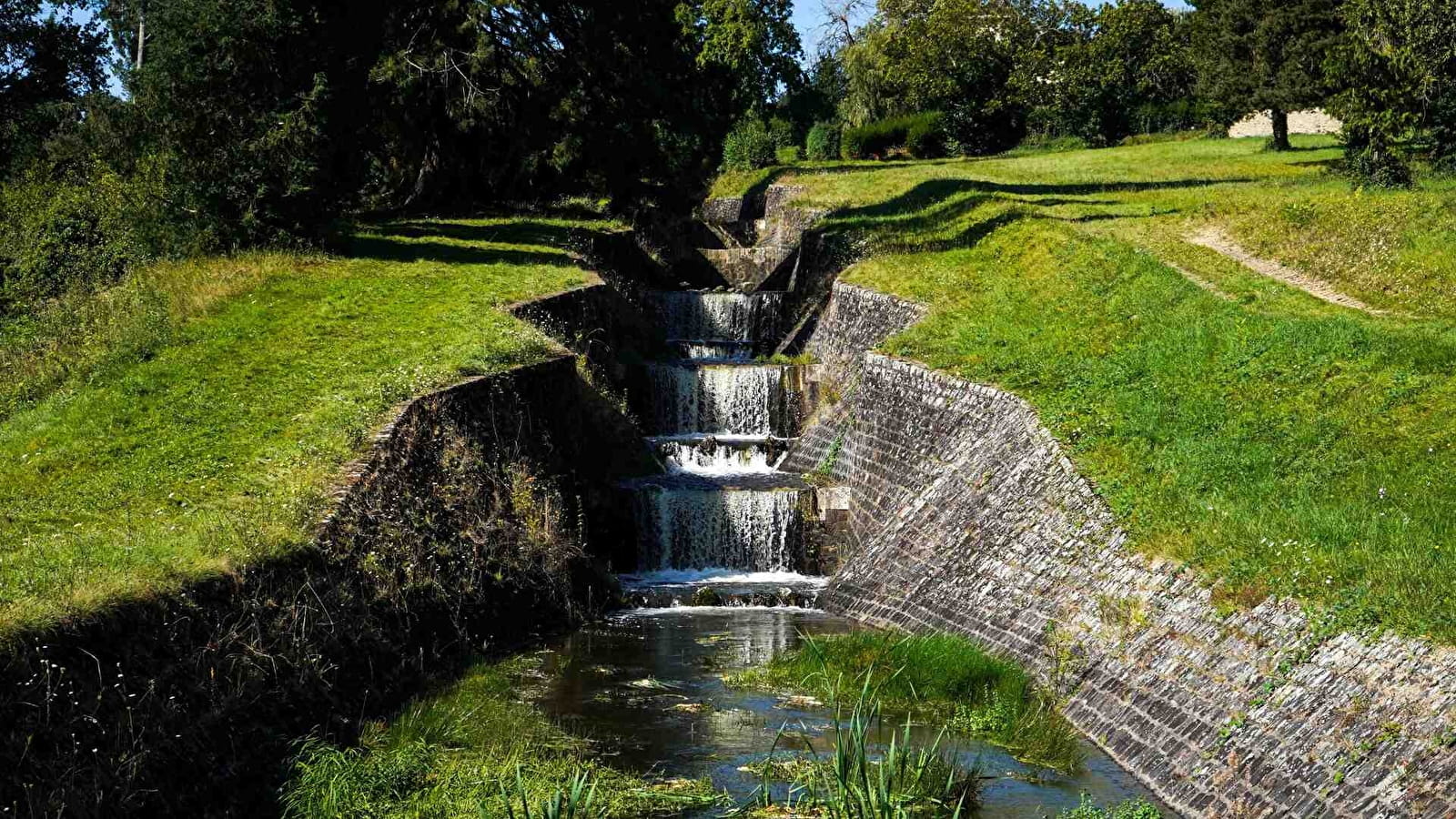
The gardens of the Lac du Bourdon spillways
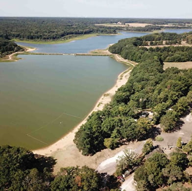
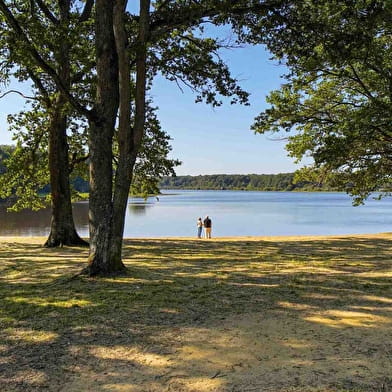
Park in the Calanque car park, at the foot of the municipal campsite and very close to the leisure centre and swimming area.
(D/A) Leave the car park as close as possible to the campsite entrance. Opposite the lake, turn left immediately to take the path, most of which is sandy and runs alongside the upstream part of the reservoir (on your right).
(1) At the left-hand corner of the marker post, a hedge-bordered path leads off to the right. Take it and you will reach the edge of the wood. Further on, a sunken track takes over and leads to a cross-country track.
(2) Keep going left. When you reach a log storage platform, continue straight ahead on the levelled track. You will soon come to your first crossroads.
(3) On the left, take a woodland track. This too leads to a surfaced track, which you should follow for around 100 metres. Leave this track and turn right, still on the slightly uphill, level track. At the junction with a cross-country track, turn left and you will come to a crossroads with a road.
(4) Cross carefully and, after a slight right-left, take a dirt track. Follow a wooded strip on the left to reach an open area with fields on the left and an airfield on the right.
Follow the path through these areas. Reach a gravelled cross-roads.
Caution: private road leading to the D485 (see § Practical information).
(5) Go left, past the Caillots farm, with its typical barn and unusual roof. Reach the D185.
(6) Cross carefully and keep to the right-hand shoulder after turning left. At the first track on the right, leave the road and follow it. Continue straight ahead, passing a track on the right and, shortly afterwards, crossing a field and skirting a strip of woodland on your right to reach a fairly wide track with a view of the back of the reservoir dam.
(7) Turn right, then immediately left to take the 2 footbridges spanning the branches of the Ru du Bourdon. At the end of the last footbridge, turn left and climb up the grassy area, with the weirs on your left. At the top, head for the barrier on the left of the Maison des Gardes. Go through the gate and down to the road.
(8) Carefully cross this road and turn left to walk along the dyke, which offers a fairly wide view of the lake. At the end, turn right. Continue along the surfaced road, keeping an eye out for traffic between the various leisure buildings and the lake. You will come to a sharp bend in the road (path opposite).
(9) Turn left and go up a tarmac road (be careful, an entrance on this curve leads to private property, so do not use it). At the top, at the cross-roads, turn right, keeping to the right-hand shoulder, and immediately take the path flanked at the very beginning by a milestone in the middle. Continue along this sunken track, leaving the various entrances to the equestrian centre on your left. Forget, too, the various departures on the left or right. Reach the old road with, on the right, the access to the Coupure (separation between the leisure area and the reservoir water use area).
(10) Go straight ahead and continue along this path lined with oaks and other shrubs. Walk past the restaurant. At the end, turn left and cross the road carefully to reach the car park (D/A).
Brochures Bourgogne Tourisme
Consult our brochures online or order them to receive at home


