The ideal path to glean a few chestnuts to roast at home.
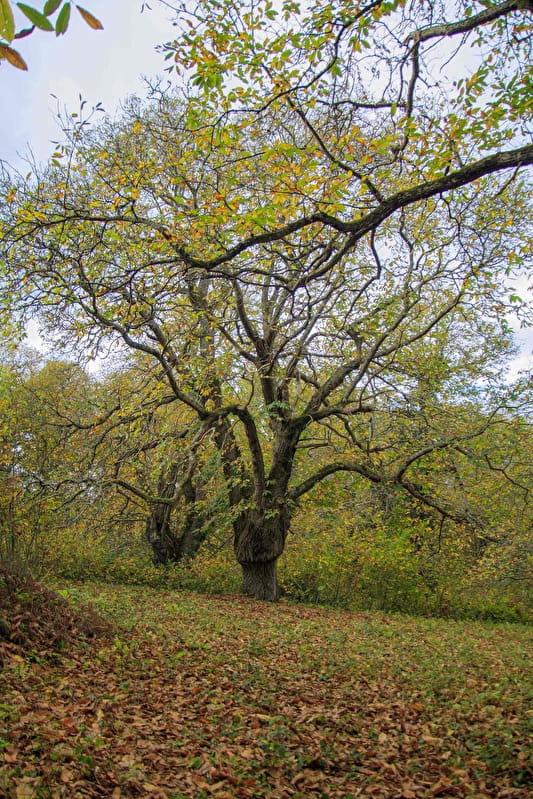
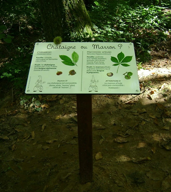
A short walk of 6km, you will follow sunken paths and waterholes. You will discover century-old trees and educational panels where you can learn more about the differences between chestnuts and marron.
The hike starts from the car park at the top of the Salle polyvalente in Parly.
(D/A) From this car park, where you will find the entrance to the multi-purpose hall, take the Chemin du Tacot ahead of you without taking the road you have just come from. Continue along this path for 500m, lined with oak, lime and acacia trees. At the junction of 4 paths, take the middle path. This leads to a tarmac road, which you should follow to the right. Cross the bridge over the Tholon.
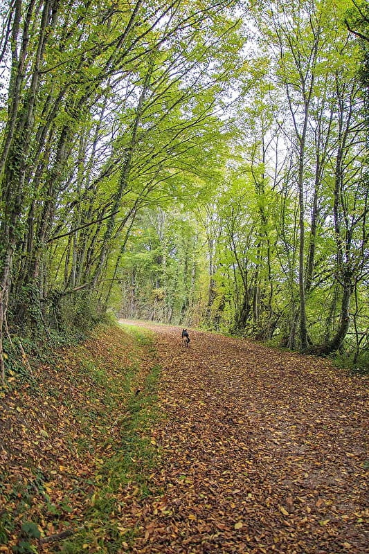
(1) At the entrance to the bend, 50 m before the house, turn left onto the woodland path. Follow a sandy sunken path uphill. Note the carpet of chestnut leaves and bugs.
At one point, a barrier on the left prohibits passage on the path marked on the map. Continue along the only sunken path available but not marked on the IGN map.
(2) On the left is a bank lined with ferns, and on the right is a staircase with four long steps that allows you to admire the hundred-year-old chestnut trees (educational panel).
Go back down the stairs and take the sunken path leading upwards, then veer a little further to the left onto the wide hiking path (the path on the right ends in a field).
(3) You will come to a side road. On the left is an electricity transformer, opposite is a sign for the Centre d'Art Graphique La Métairie Bruyère (this can be visited 250m along on your left). Take the dirt track opposite you.
Keep going until you come across another crossroads: bayonet left-right to pick up a sunken path lined with chestnut leaves. Note a wart on a tree inside the wood on the left, then a wooden chalet on the right. At a new signpost, look out for the large chestnut tree on the right. Continue along this path and follow the fence of a property.
(4) At the end of the fence, turn right in a hairpin bend and follow the path downhill (educational sign 50m on the left). Continue downhill to a road called Les Robinots.
(5) Turn left and go through the hamlet along the main road. At the sign for Rue de la Bréotte (about 300m further on), turn right onto the hairpin bend before the first house on the hill. This path is lined with meadows on both the left and right. Next to a horned pollarded ash tree, there is another educational panel facing a superb chestnut tree on your left.
Then, through a small wood, the path narrows. At the crossroads with a large track, turn left. There are some magnificent chestnut trees on your left (educational sign at the end of the embankment). Turn left at the next crossroads, then continue towards the houses in the hamlet of Petit Arran. Continue along the road as far as the Stop sign. Continue for approximately 80m.
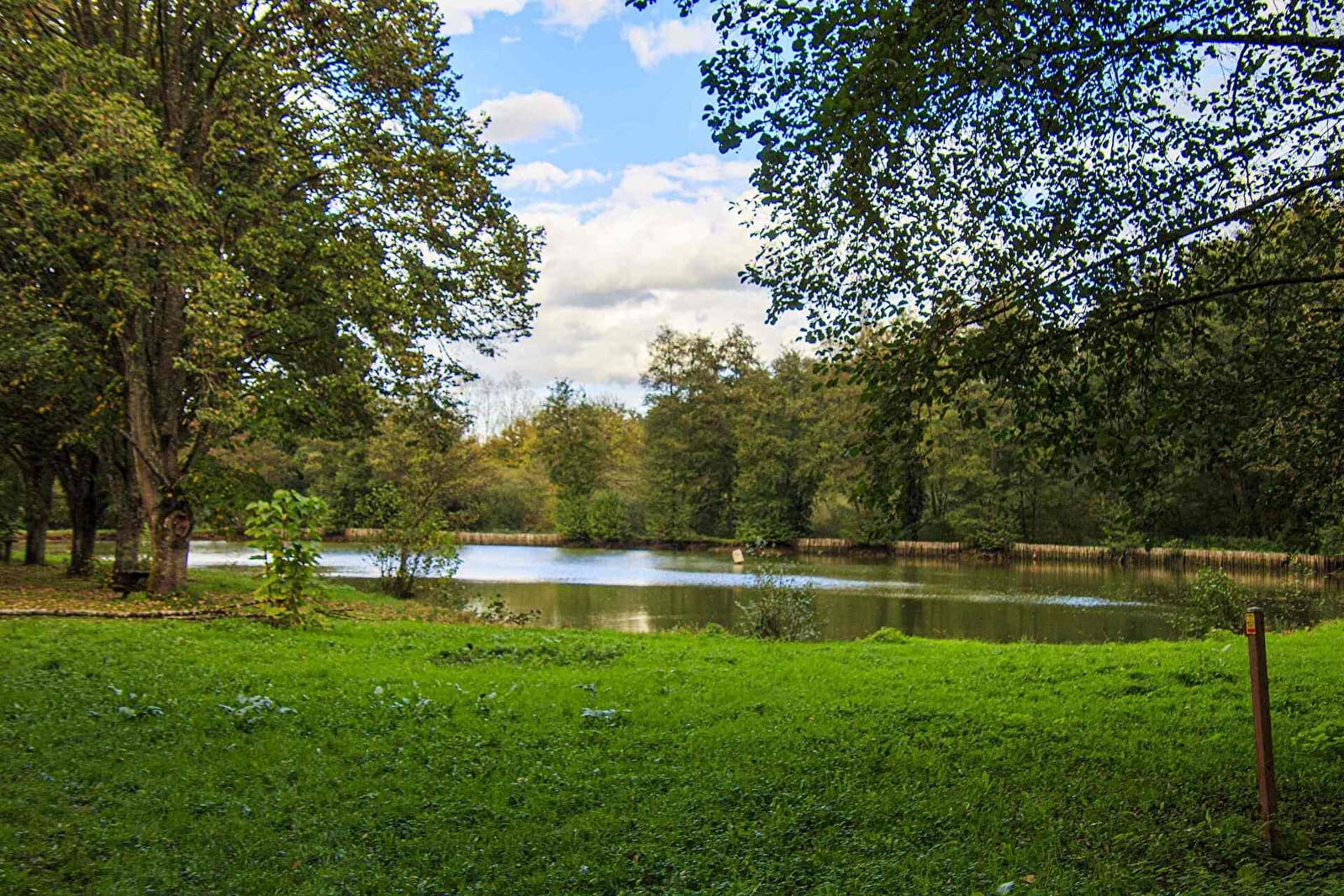
(6) Turn right onto Chemin des Ocriers. Leave the water treatment plant on your right and go through a wood. As you go downhill, take the path on your left (the right-hand path is not shown on the map). Cross a stream on a small bridge. The path climbs back up and comes to a field bordered by a footpath. Take this path to the right, then enter a wooded area and walk along a sunken track. In the distance, a pond can be seen on the right.
Continue until you reach Parly, with the pond on your right and a view of the church on your left.
At the road, turn left to return to the starting point (D/A).


